You don’t need us to explain why accessible parking matters. You’ve done the circling. You’ve seen the spaces taken. You’ve made the mental calculation about whether it’s worth attempting somewhere new, or whether the logistics are just going to grind you down before you even get started.
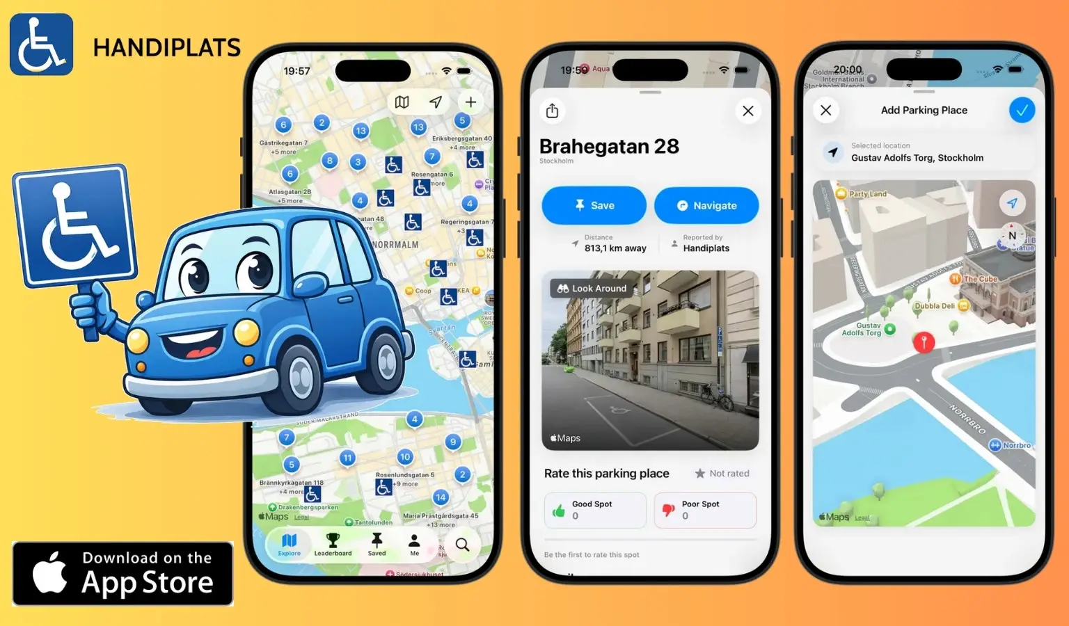
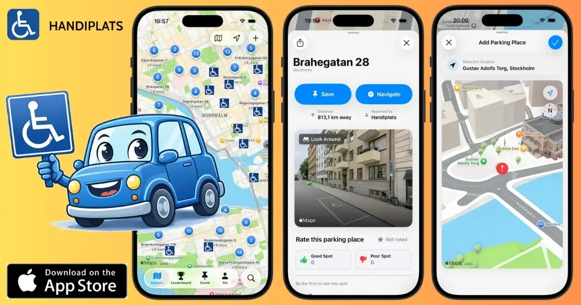
What you might not have come across yet is Handiplats — a community-driven app that maps accessible parking spaces, currently showing over 100,000 locations across multiple countries. It’s been quietly growing since 2000, and it’s worth knowing about.
Handiplats shows accessible parking spaces on a map. You can search by location, get directions to a specific space, and — if you know of one that isn’t listed yet — add it yourself. That’s the core of it. No clutter, no unnecessary features. Just the information you actually need, when you need it.
Current coverage includes:
Coverage is strongest in Western Europe right now, particularly France and Spain — genuinely useful numbers if you travel, or if you’re planning to. The UK and US datasets are smaller but actively expanding, and user contributions are a big part of how that happens.
Handiplats was built by a father whose son uses a wheelchair. He kept facing the same problem every time they arrived somewhere new: no reliable way to find accessible parking. So in 2000, he built a database. It started as a static list in Sweden. Twenty-five years later, it’s a global, community-driven platform.
“My hope is that accessible parking should never be the first barrier in someone’s day.”
The origin is important because it influenced the platform to focus on practicality rather than polish, and on usefulness rather than thoroughness for its own sake. It was created to address a real issue, by someone who experiences that problem firsthand.
The data quality on any accessible parking platform lives or dies by how current it is. Spaces change. New ones appear. Old ones get repurposed or quietly removed. As a result, a static database goes stale fast.
For Handiplats, this is where the community steps up. When you find a space that isn’t listed, you add it. When something’s out of date, you flag it. The platform improves continuously because the people using it are also the ones maintaining it, which tends to produce more accurate, more trustworthy data than anything compiled from the top down. It’s a bit like how, when using Waze, people can alert others to road works or police checkpoints.
If you’re in the UK or US, this is particularly relevant: the more users who engage in those regions, the faster coverage grows.
If you travel in France, Spain, Belgium, the Netherlands, or Sweden — yes, straightforwardly. The coverage is substantial enough to be genuinely useful, and having that information in your pocket before you arrive (rather than hoping for the best) makes a big difference.
If you’re based in or travelling to the UK or US, it’s still worth downloading, both to use what’s there and to contribute if you can. The dataset in these regions will only get better if people are using and adding to it.
It’s available on iPhone. And built by someone who got tired of asking the same unanswered question.
Handiplats is a global, community-driven platform showing accessible parking spaces across multiple countries. Founded in Sweden in 2000, it now maps over 100,000 spaces worldwide. Available on iPhone.